
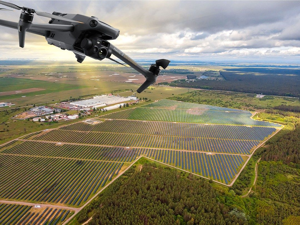
AlturaEdge is an AI cloud‑hosted tool that lets you plan drone missions from anywhere.
Stakeholders can ask for the data they need right in the SkyPlan web portal, and the platform automatically dispatches those flight plans to your drone fleet through its API—eliminating the back‑and‑forth between teams.


AlturaEdge
An AI cloud-based platform for planning drone missions.
Drone Operations at a glance
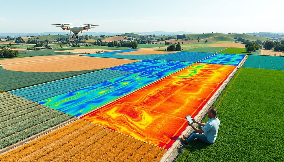
AlturaEdge is a web‑based platform that lets teams request, schedule and automate drone data collection. By stripping out logistical hand‑offs, organisations can scale flight activity to match their growing appetite for site data.
Cloud‑based Mission Planning
A sophisticated online planner that anyone, anywhere can use to ask for fresh site information.
Scheduling
Set one‑off or recurring flight windows so imagery is captured exactly when it’s needed.
Coordination
Mission requests go straight to the drone controller through an API, eliminating back‑and‑forth between survey crews and data users.
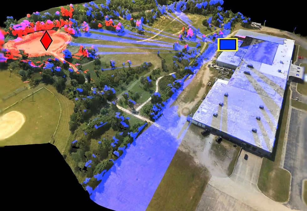
Fully automated execution keeps a steady stream of up‑to‑date field data flowing, giving the whole site continuous visibility.
Scalable
Fleet support – Fly multiple drones at once, even in parallel, via SkyPort. Unlimited user access – Any stakeholder can trigger missions through AlturaEdge Cloud and extract more value from aerial data. Organisation‑wide roll‑out – Deploy across many sites so corporate teams see operations and consumption in one place—no need to be on‑site.
Efficient
Instant alerts – Email notifications fire as soon as datasets are processed, shrinking the gap between collection and action. Drone‑in‑a‑box ready – Works with turnkey docking stations for extra automation. Hardware agnostic – Compatible with a range of drone platforms to cover every capture scenario.
Collaborative
Zero manual hand‑offs – The SkyPlan Cloud‑to‑fleet API removes human coordination steps. Ops calendar – A live schedule shows all current and upcoming flights, helping teams allocate resources based on demand.
AlturaEdge turns complex, multi‑site drone programs into a seamless, self‑service pipeline—so every stakeholder gets timely, high‑quality aerial data without the usual operational overhead.
Ready to grow? Let AlturaSense help you meet your geospatial‑data goals.
Stay informed—sign up for our newsletter for the latest product news and insights.