
Drone Data Processing & Analytics Platform
Turn raw drone data into clear, actionable insight that speeds decision‑making at the mine site.

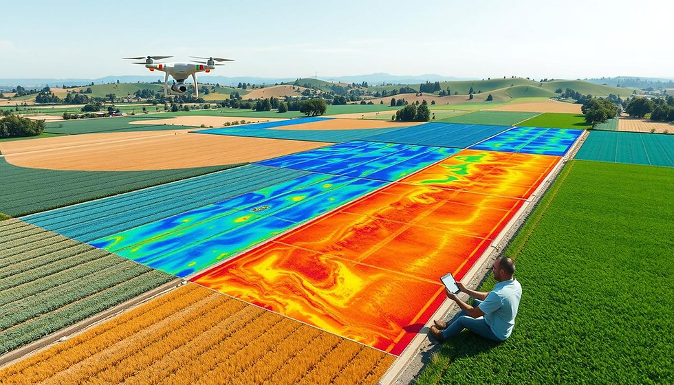
Deep Ground — AI Surface Cleaning
Generate pristine terrain models without lifting a finger. Machine‑learning algorithms strip away vegetation, machinery, people and other noise so you always start with a clean surface.

Feature Extraction
AI routines automatically identify and export critical mine‑site features—toe and crest lines, safety berms, haul roads, stockpiles, and more—eliminating tedious manual digitising.

SkyMerge
Fuse multiple datasets into a single, up‑to‑date 3‑D mesh for holistic, site‑wide visibility.

Measurement Suite
Survey‑grade accuracy delivers dependable volumes, distances and slopes—giving engineers and planners the confidence to act.

AlturaEdge — On‑Site Processing
Handle high‑volume datasets with an enterprise‑class, on‑premises engine that plugs straight into your geospatial pipeline.
-
Harness AlturaEdge’s purpose‑built photogrammetry core to slash queue times.
-
Keep sensitive information behind the firewall while still syncing finished outputs to the cloud¹ for audit or sharing.
-
Perfect for remote operations with spotty connectivity or companies that need consistent, standardised deliverables across multiple teams.
¹ Cloud Sync requires an internet link; upload speeds depend on available bandwidth.

Cloud Processing
Give your organisation a friction‑free, browser‑based workflow for automated image and LiDAR processing.
-
Drag‑and‑drop raw datasets, choose the mining‑optimised preset, and let parallelised cloud engines do the work.
-
You’ll get an instant alert the moment results are ready.
-
Seamless APIs push outputs into third‑party systems for downstream analysis.
Ready to grow? Let AlturaSense help you meet your geospatial‑data goals.
Stay informed—sign up for our newsletter for the latest product news and insights.