
Automated Drone‑Capture Platform
Expand drone programs to satisfy growing data needs without compromising on safety or productivity.

Built for Growth
AlturaSphere delivers an enterprise‑grade framework that grows with you. By stripping away manual hand‑offs, it keeps the data pipeline from the field flowing smoothly—whether you operate one UAV or an entire fleet.
Streamlined & Fast
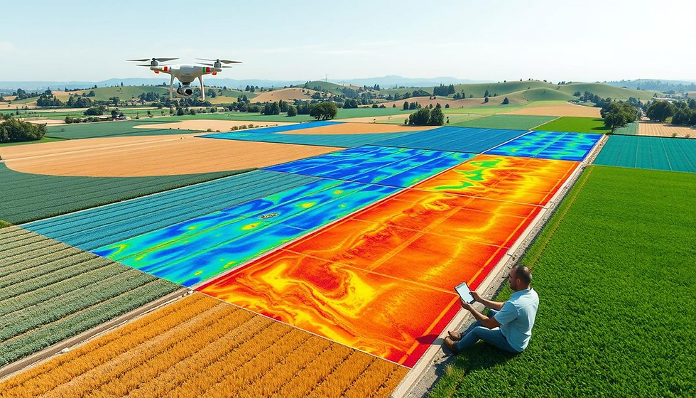
Stakeholders simply log in to AlturaSphere Cloud, specify the information they want, and get an alert the moment the dataset is processed. No more juggling logistics or waiting on middle‑men.
One Hub for Every Team
All mission planning and execution live in a single workspace, allowing engineers, surveyors, and managers to collaborate effortlessly. Automated request‑and‑capture workflows wipe out the back‑and‑forth that normally slows projects.
AlturaEdge Highlights
Together, AlturaEdge and AlturaSphere create a seamless, scalable ecosystem that keeps drone operations efficient, compliant, and safe from takeoff to data delivery.

AlturaEdge offers an end‑to‑end compliance and fleet‑management suite. When paired with SkyPlan, it automatically enforces regulations across diverse drone makes and models.
User‑Friendly

Customizable pre‑ and post‑flight checklists adapt to any corporate rule set or regional regulation, fitting neatly into existing processes instead of adding extra steps.
Flexible

Proactive tracking of hardware service intervals and pilot certifications prevents incidents. SkyFleet flags when a drone needs maintenance or a pilot requires refresher training—before missions are launched.
Safety‑First
Ready to grow? Let AlturaSense help you meet your geospatial‑data goals.
Stay informed—sign up for our newsletter for the latest product news and insights.